top of page

TURNING AERIAL DATA INTO ACTIONABLE INSIGHTS
Scroll Down to See More
SERVICES
3D Modeling
Click the play button above to explore an interactive 3D model created by Aero Precision Applications.
Want a full screen experience? Click Here.


ABOUT
ABOUT US
DATA-DRIVEN VISUALIZATION; BUILT FROM THE SKY DOWN
ELEVATING PERSPECTIVES - MAPPING POSSIBILITIES
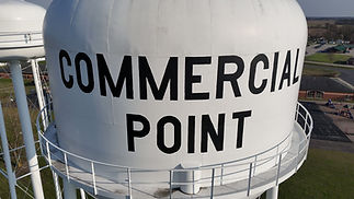
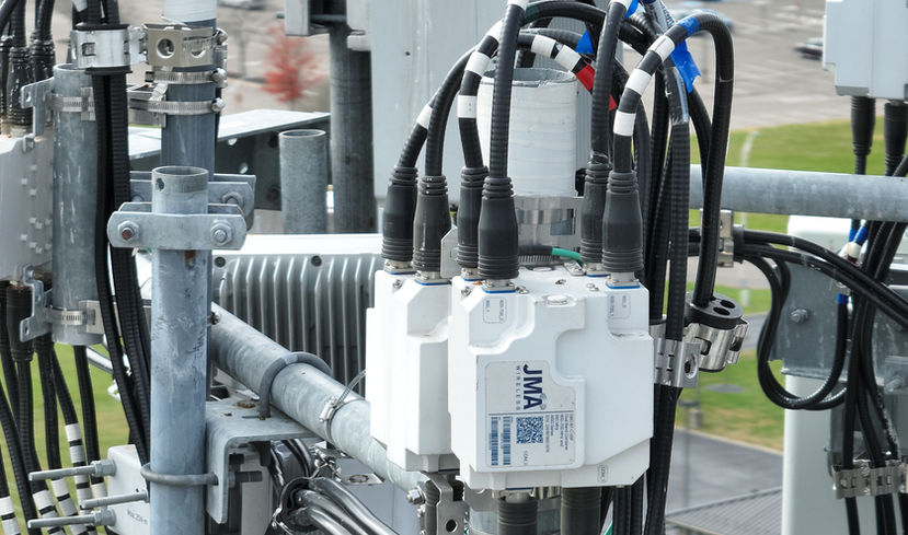
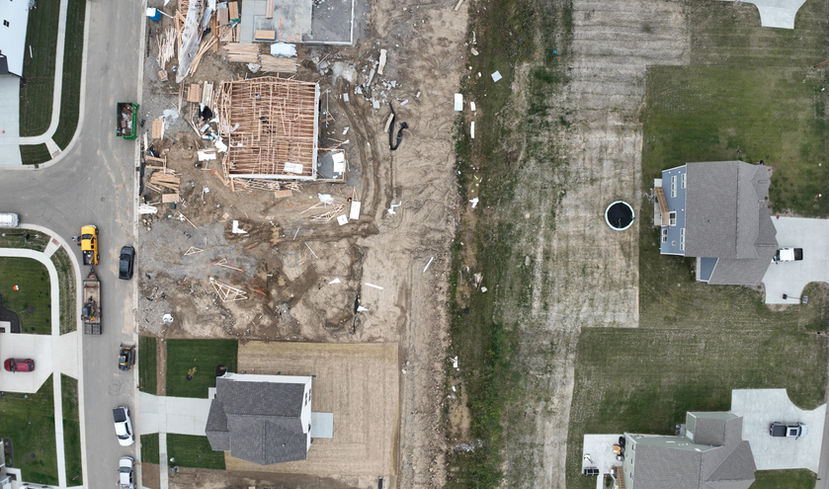
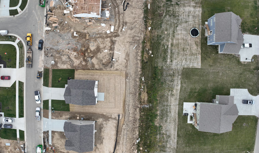
At Aero Precision Applications, we turn aerial data into actionable insights. From detailed 2D maps to photorealistic 3D models, our drone services help businesses see every angle of their project with unrivaled visual quality and precision—saving time, reducing errors, and enhancing decision-making.
bottom of page


